
Authors: J. Sebastian Hernandez-Suarez, A. Pouyan Nejadhashemi, Hannah Ferriby, Nathan Moore, Ben Belton, and Mohammad Mahfujul Haque
Abstract
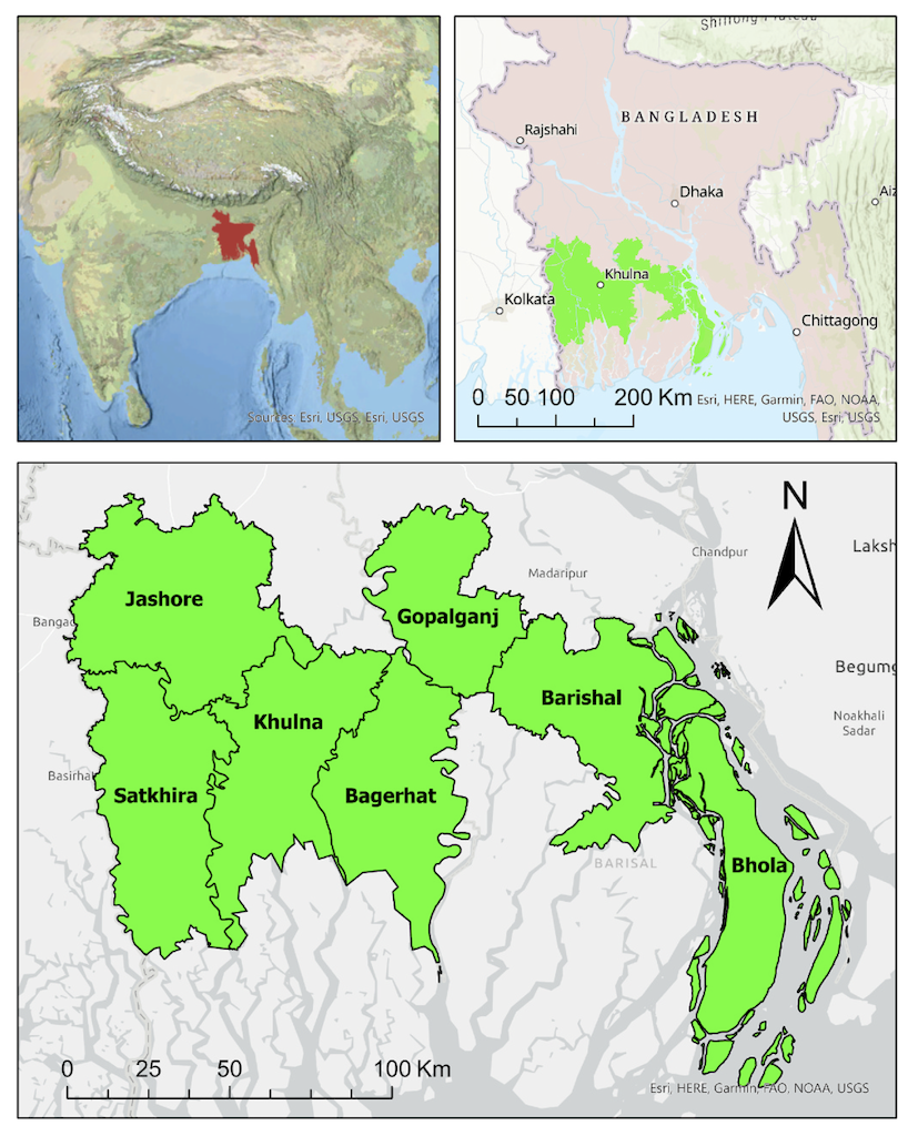
In this study, we evaluated the use of synthetic aperture radar (SAR) and multispectral data to detect aquaculture waterbodies in Southern Bangladesh to quantify fish production on a national scale. For this purpose, we developed an object-based framework comprised of three sequential stages: 1) water detection, 2) feature segmentation, and 3) feature classification. Techniques such as Edge-Otsu for binary thresholding, edge detection with convolution filters, and various supervised and unsupervised machine learning methods were used as part of a workflow. We found that ensemble products combining individual subproducts resulted in higher overall accuracy for water detection (overall detection rate around 60%) and waterbodies classification (overall accuracies up to 79%). Moreover, we showed that SAR data and shape indices played important roles in better-discriminating waterbodies. However, limitations in edge detection outcomes affected the identification of small and isolated aquaculture waterbodies, especially those integrated into rice fields, or in areas with trees.
Read the full publication at https://doi.org/10.1016/j.envsoft.2022.105534.
Published October 11, 2022